The Complete Guide to Reading a Surf Forecast Without Getting Skunked
Quick Answer: Read the forecast in this order: swell period, then swell direction, then wind speed and direction, then tide, and only then wave height. A 3-foot swell at 14 seconds is a real surf day; a 4-foot swell at 7 seconds is choppy mush. Period tells you how much energy the waves carry and whether they will break with shape; height on its own tells you almost nothing about whether you will catch anything.
The app said 4 feet. You drove ninety minutes and found unsurfable slop. Nothing in the forecast lied to you — you were just reading the wrong line first.

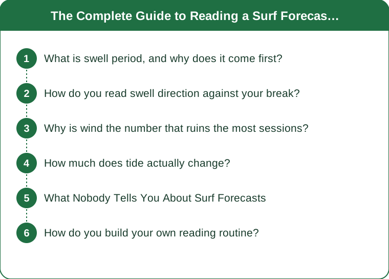
What is swell period, and why does it come first?
It is the number of seconds between wave crests, and it is the single best predictor of whether a day is worth surfing.
Period is a proxy for how far the swell has travelled and how much energy it holds. Wind blowing over water creates short-period, disorganised waves. As those waves move away from the storm that made them, the longer ones outrun the shorter ones and the swell organises itself into evenly spaced lines. The longer the travel, the longer the period, and the cleaner the result.
Short-period swell — roughly 6 to 9 seconds — is local wind swell. It is choppy, close together, weak, and it breaks without much shape. Four feet of 7-second swell is genuinely unpleasant to surf and will feel like far less than four feet of anything else.
Medium period — 10 to 13 seconds — is a real, workable swell for most beach breaks, with defined sets and rideable faces.
Long period — 14 seconds and up — is ground swell that has crossed an ocean. It carries far more energy, and this is where the number becomes deceptive in the other direction: a 3-foot swell at 16 seconds can produce head-high faces, because energy that has been travelling for days interacts with the sea floor differently than a local chop does.
The rule of thumb experienced surfers use: wave face height at the beach runs roughly one and a half to two times the reported swell height at long periods, and roughly equal to or under it at short periods. That is a factor-of-two difference driven entirely by the number most beginners ignore.
Long period also means longer waits. A 16-second swell means sets arrive further apart, with genuinely flat stretches between them. A day that looks empty for four minutes is not a flat day, and paddling in during a lull is the most common way people miss the best sets of the morning.
And long period bends more. Longer waves refract further around headlands and into bays, which is why a big long-period swell lights up sheltered spots that a wind swell never reaches at all.
How do you read swell direction against your break?
By comparing the swell’s compass bearing to what your specific spot is open to — and this is where local knowledge beats any app.
Every break has a window: a range of directions from which swell can actually reach it. Everything outside that window is blocked by land, islands, headlands, or the angle of the coast itself. A perfect 5-foot swell from a direction your beach cannot see is a flat day at your beach.
Direction is reported as where the swell comes from, the same convention as wind. A 270-degree swell arrives from due west. A beach facing west receives it head-on; a beach facing south barely registers it.
Head-on swell produces the most power and the most closeouts — the whole wave stands up at once and breaks along its length. Angled swell, arriving at 30 to 45 degrees to the beach, produces the peeling waves you actually want, because the wave breaks progressively along the sandbar rather than all at once.
This is why the ideal is rarely the biggest. Many breaks work best on a swell slightly off their direct exposure, and a great deal of local surf knowledge is precisely this: which combination of direction and tide makes this particular sandbar or reef work.
How to learn your spot’s window without a mentor:
- Note the swell direction, period, tide, and what you found, every session, in a phone note.
- After ten or fifteen sessions, the pattern appears — you will see that your spot needs, say, 200 to 240 degrees at 11 seconds or more on a mid tide.
- Check surf cams before driving. Thirty seconds of live footage beats every forecast model ever built.
Two swells at once is common and confusing. Forecasts often list a primary and a secondary swell from different directions. When two swells meet at an angle, they produce inconsistent peaks and awkward doubling up — days that look good on paper and feel disorganised in the water. If the two directions are more than about 40 degrees apart, expect a messy session.
Why is wind the number that ruins the most sessions?
Because it works on the wave surface directly, and it can undo any amount of good swell in under an hour.
Offshore wind — blowing from land out to sea — is what you want. It holds the wave face up, smooths the surface, and delays the break, producing the clean lines every surf photograph is taken in. Light offshore, roughly 3 to 8 mph, is close to ideal. Strong offshore, above about 15 mph, starts making waves difficult to get into because the wind is holding them up against you as you paddle.
Onshore wind — from sea to land — is the session killer. It pushes wave tops over early, produces crumbling, disorganised faces, and creates surface chop that makes both paddling and riding harder. A modest 12 mph onshore wind can render an otherwise excellent swell not worth surfing.
Cross-shore wind is the middle ground: it degrades the surface without destroying the shape, and half of a cross-shore day is often perfectly good.
The timing pattern is the actionable part. In most coastal areas through late summer and early autumn, wind is lightest around dawn, builds through the morning as the land heats, and peaks mid-afternoon as a sea breeze. This is the entire reason surfers are so tediously committed to being up early — the swell may be identical at 6am and 2pm, and the surface will not be.
Wind against swell is the roughest water. When a breeze blows into an oncoming swell, waves stack up short and steep for the same energy. Wind with current adds a further layer at any spot with tidal flow.
And read the gust figure, not the average. A 6 mph wind gusting to 16 gives you a surface that keeps changing, which is more disruptive than a steady 12. Forecasts that publish both are telling you which kind of day it is.
A practical read from the beach: if you can see the wave faces holding smooth and vertical with spray blowing back off the crest, that is offshore and you should already be changing. If the crests are crumbling forward into white water well before the wave breaks properly, that is onshore and no amount of waiting will fix it today.

How much does tide actually change?
Enough that the same swell can be excellent and unsurfable four hours apart at the same beach.
Tide changes the depth of water over whatever you are breaking on, and depth is what determines where and how a wave breaks. That is the entire mechanism, and its effects differ completely by break type.
Beach breaks generally work across a wider tidal range, and many have a sweet spot on a mid tide — enough water to stop waves closing out, not so much that they refuse to break at all. Low tide often produces steep, fast, closing-out waves; high tide often produces waves that back off and never break properly.
Reef and point breaks are far more tide-specific. Some work only on a low tide, some only on a high, and locals will know which within a foot. A reef that is a perfect wave at 3 feet of tide can be a hazard at 1 foot.
The direction of the tide matters as well as its height. Many spots are better on a pushing (incoming) tide than a dropping one at identical heights, because incoming water tends to organise the surface while a dropping tide can leave it slack. This is highly local and it is worth logging.
Spring versus neap tides change the size of the effect. Around new and full moons, the tidal range is largest, which means conditions change faster through the session and any given window is shorter. Around the quarter moons, the range is smaller and the sweet spot lasts longer.
Tidal current is a safety factor, not just a quality one. Big tidal ranges create strong flows, particularly near river mouths, jetties, and headlands, and those flows produce rip currents that can move faster than you can paddle. Know which way the water is moving before you paddle out, and know where the rip is — rips are also the easiest way out to the lineup if you understand them and the fastest way into trouble if you do not.
The practical approach: find out your spot’s preferred tide once, then treat the tide table as the thing that sets your session time within the window that swell and wind have already allowed.
What Nobody Tells You About Surf Forecasts
Forecast models predict deep-water swell, not your beach. The numbers you read describe conditions at an offshore buoy or model point. What happens between there and the sand — refraction, shoaling, sandbar shape, local wind — is not in that number. Two beaches ten miles apart can have completely different days from the same forecast.
Sandbars move, and last month’s knowledge expires. A beach break’s shape changes with every significant swell. The peak that worked all summer may not exist after the first big autumn swell, which is why regulars re-scout their spots after every large event rather than assuming.
Buoy data beats forecast data. A forecast is a model of the future; a buoy reading is a measurement of the present. When they disagree, the buoy is right. Learning which buoy sits upstream of your break, and how many hours the swell takes to arrive from it, is one of the highest-value things a developing surfer can do.
The best sessions are usually the second day of a swell. Day one is often disorganised and still building; day two frequently has the same size with cleaner organisation and better-known sandbanks. Swells also tend to be more consistent as they settle.
Crowds are a forecast variable. A forecast that looks excellent to you looks excellent to everyone. A merely good day at a spot nobody is looking at will often give you more waves than a great day at the obvious one — and for anyone still learning, wave count matters more than wave quality.
And the honest one: most skunked drives are caused by reading height first and wind last. The number that determines whether the water is surfable at all is the wind, and it is the one that changes the most in the hours between checking and arriving.
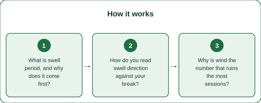
How do you build your own reading routine?
A repeatable checklist, a log, and a set of thresholds that are yours rather than someone else’s.
The checking sequence, in order:
- Swell period. Under 9 seconds, expect weak and choppy regardless of height. Over 13, expect faces bigger than the number and longer waits between sets.
- Swell direction. Is it inside your spot’s window? If not, stop here.
- Wind speed and direction. Offshore or light is a go; more than roughly 12 mph onshore is usually a no.
- Tide height and state, against your spot’s known preference.
- Wave height, last, interpreted through the period.
- The surf cam, always, if one exists.
Then keep a log. After every session write five things: date, swell height and period, swell direction, wind, tide, and one sentence on what you found. Fifteen entries is enough to see your spot’s pattern, and it is knowledge no app can give you because it is specific to one stretch of sand.
Set thresholds honestly for your level. A beginner and an experienced surfer should have completely different go/no-go numbers on the same forecast. If you are still learning to catch waves, small, long-period, light-wind, mid-tide days are not a compromise — they are the correct conditions, and chasing size is the fastest way to spend a session being tumbled rather than surfing.
Have a second spot and a second time. The single biggest improvement to your average session quality is flexibility: a spot that handles onshore wind better, and a willingness to go at dawn instead of after breakfast.
Check the safety line every time. Water temperature — which is dropping steadily through autumn and changes your wetsuit decision — plus tidal current, plus whether the beach is patrolled. As the season turns, daylight shortens at both ends and a dawn session gets genuinely dark, so check sunrise as well as swell.
And build in the willingness to turn around. A forecast is a probability, not a promise. The surfers who look luckiest are almost always the ones who check three spots, drive to the one that looks right, and go home without getting wet a few times a season without treating it as a failure.
TL;DR:
- Read period first: under 9 seconds is weak local chop, 14+ is ground swell that produces faces well above the reported height
- Check swell direction against your break’s window — a big swell from a blocked direction is a flat day
- Wind decides whether the day is surfable at all; light offshore is ideal, 12 mph onshore usually ends it, and dawn is almost always cleanest
- Tide sets your session time within that window, and its effect is far larger on reefs and points than on beach breaks
- Wave height is the last number to read, buoys beat models, and a fifteen-session log beats any app for your own spot
The forecast is not hard to read once you stop reading it top to bottom. Period, direction, wind, tide, height — in that order — and the ninety-minute drive to unsurfable slop mostly stops happening.
Keep Reading
This article is for general informational and styling purposes only. Fit, sizing, and product availability may vary.